死亡谷国家公园恶水盆地的盐滩, 加利福尼亚州, 美国 Salt flats in Badwater Basin, Death Valley National Park, California, USA (© Jim Patterson/TANDEM Stills + Motion)

死亡谷国家公园恶水盆地的盐滩, 加利福尼亚州, 美国 Salt flats in Badwater Basin, Death Valley National Park, California, USA (© Jim Patterson/TANDEM Stills + Motion)
对比之谷 The valley of contrasts
死亡谷国家公园周年纪念
死亡谷国家公园颠覆人们对沙漠的想象,横跨加利福尼亚州与内华达州,总面积约340万英亩,是美国面积最大的国家公园。盐沼、火山丘陵、流动沙丘与覆雪山峰交错分布,构成极端而多变的地貌。从海拔11000英尺的望远镜峰,到低于海平面282英尺的恶水盆地,这里呈现出鲜明且震撼的对比。
罕见暴雨唤醒山谷,野花短暂盛放,隐秘绿洲为野生动物提供栖息之所,近1000种植物在极端环境中顽强生长。恶水盆地是北美洲海拔最低点,广阔盐滩在天际线上裂解出几何纹理,呈现出近乎超现实的景观。早在1849年,廷比沙肖松尼人便在这片山谷中安居生活。
鉴于其独特且极端的地貌景观,1933年,时任美国总统赫伯特·胡佛正式将死亡谷指定为国家纪念地。1994年,《加州沙漠保护法案》进一步将其升格为国家公园,面积扩大一倍以上,使这片极端沙漠得以长期保存。
Death Valley National Park's Anniversary
Death Valley National Park challenges first impressions. Spanning more than 3.4 million acres across California and Nevada, it is the largest national park in the contiguous United States. Across this vast expanse, salt flats, volcanic hills, sweeping sand dunes, and distant snowcapped peaks create a landscape shaped by time and extremes. From the soaring heights of Telescope Peak, which rises over 11,000 feet above the desert floor, to the depths of Badwater Basin, 282 feet below sea level, the park is a study in contrasts.
Rare rainstorms can trigger brief bursts of wildflowers across parts of the valley, while hidden oases sustain wildlife and more than 1,000 plant species thrive against the odds. At Badwater Basin, pictured here, the land sinks to its lowest point in North America. Its blinding white salt flats stretch to the horizon, fractured into geometric patterns that make each step feel surreal. Long before it earned its foreboding name in 1849, the Timbisha Shoshone people called this valley home.
Recognizing its unique landscapes, President Herbert Hoover designated Death Valley a national monument on this day in 1933. That protection expanded in 1994, when the California Desert Protection Act elevated it to national park status and more than doubled its size, ensuring the preservation of this extraordinary desert for generations to come.
橄榄树林,伊特里亚山谷,普利亚,意大利 Olive grove, Valle d'Itria, Puglia, Italy (© Massimo Santi/Shutterstock)
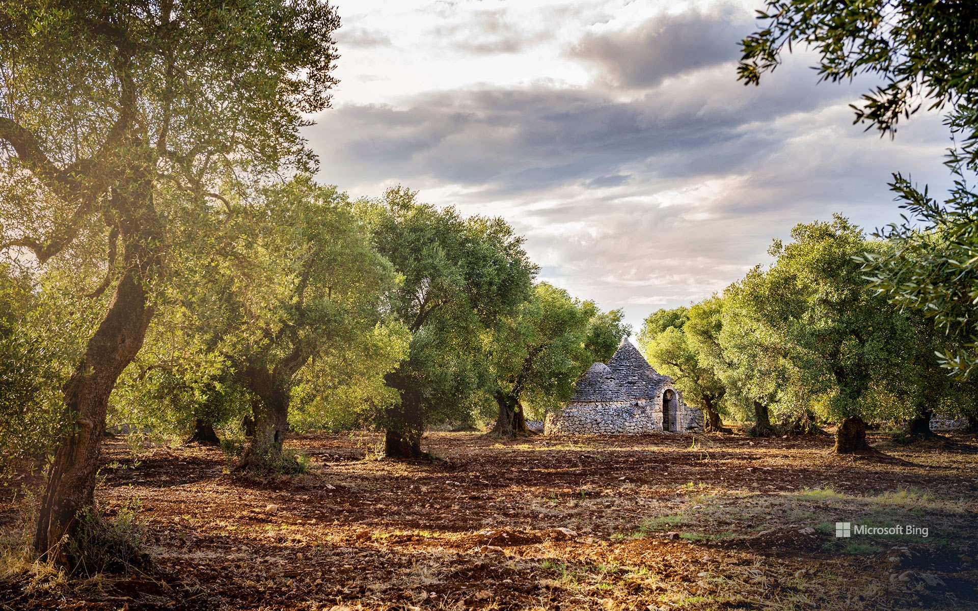
橄榄树林,伊特里亚山谷,普利亚,意大利 Olive grove, Valle d'Itria, Puglia, Italy (© Massimo Santi/Shutterstock)
有数百年历史的橄榄树 Many centuries of olive trees
庆祝世界橄榄树日
今天,我们不仅要向你献上橄榄枝,还要献上整棵橄榄树。11月26日是世界橄榄树日,让我们花些时间来欣赏一下这种奇妙的植物吧。大约在8000年前,橄榄树首次被种植在地中海东部。从那里,它们被腓尼基人传播到了希腊群岛和大陆,然后又传播到更远的地方,大约在公元前1000年到达西班牙和地中海的西部边缘。橄榄枝自古以来就是和平的象征,人们种植橄榄树以获取橄榄油、木材和果实已有千年历史。
图中所示的意大利南部的普利亚地区拥有约6000万棵橄榄树,生产着该国约40%的橄榄油。该地区生产橄榄已有几个世纪的历史。普利亚最古老的橄榄树,也是意大利最古老的橄榄树之一,被认为有近4000年的历史。令人惊讶的是,这棵树上的橄榄至今仍被用来制作橄榄油。今天图片上的橄榄树丛中还有另一样东西连接着过去,树与树之间的建筑物名叫特鲁洛,这种不用砂浆建造的民居只有普利亚才有,它们的存在也展示了该地区深厚的传统文化。
Celebrating World Olive Tree Day
Today, we're not just offering you an olive branch—we've got the whole tree. November 26 is World Olive Tree Day, so we're taking some time to appreciate this amazing plant. Olive trees were first cultivated in the eastern Mediterranean around 8,000 years ago. From there, they were introduced to the Greek islands and mainland by the Phoenicians, then farther afield, reaching Spain and the western edge of the Mediterranean by around 1000 BCE. The olive branch has been a symbol of peace since ancient times, and olive trees have been grown for their oil, wood, and fruit for millennia.
The southern region of Puglia in Italy, seen here, has an estimated 60 million olive trees and produces about 40% of the country's olive oil. The oldest olive tree in Puglia, and one of the oldest in Italy, is thought to be almost 4,000 years old and its olives are still used to make oil. The olive grove in today's image also has another link to the past: The structure between the trees is a trullo. These dwellings, made without mortar, are only found in Puglia. They show how deeply rooted the traditions of this region are.
郁金香田,斯卡吉特山谷,华盛顿州,美国 Tulip fields in spring, Skagit Valley, Washington, USA (© Claudia Cooper/Getty Images)
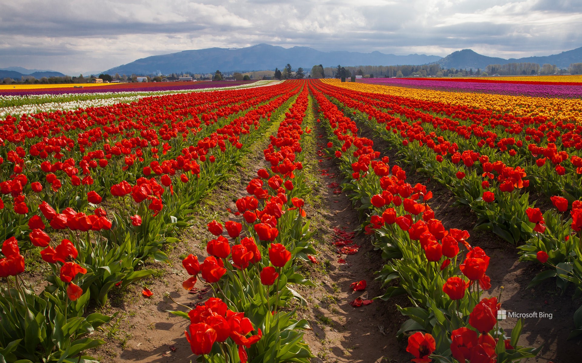
郁金香田,斯卡吉特山谷,华盛顿州,美国 Tulip fields in spring, Skagit Valley, Washington, USA (© Claudia Cooper/Getty Images)
踮起脚尖,穿过郁金香 Tiptoe through the tulips
斯卡吉特山谷郁金香节
在弗农山的阴影下,鲜艳的花朵为大地涂上一层色彩,造就了一幅真实的画卷,华盛顿斯卡吉特山谷的郁金香节正在等你。郁金香节于1984年由弗农山商会创办,最初的活动为期三天,后来发展成为为期一个月的盛会。节日从四月持续到五月,吸引了来自世界各地的游客。花展横跨山谷中的多个花园,千万不要错过郁金香镇、郁金香谷农场、罗莎琳花园以及鲁森加德占地50英亩的花展,你可以骑自行车游览郁金香花园,还可以探索当地的酒庄、酿酒厂和餐馆。漫步花间,生活放慢了脚步,让我们记住简单的快乐:深呼吸,绽放笑容,沉醉在斯卡吉特山谷郁金香节的美景中。
Skagit Valley Tulip Festival in Washington
Walk through a real-life canvas in a farming valley in Washington, where vibrant blossoms paint the Earth. That's exactly what awaits you at the Skagit Valley Tulip Festival, held in the city of Mount Vernon and surrounding towns. Founded in 1984 as a three-day event, it has grown into a month-long fiesta which runs from April to May and draws visitors from all over the world. The floral show spans multiple gardens in the valley, so make sure you explore Tulip Town, Tulip Valley Farms, Garden Rosalyn, and the 50-acre display at RoozenGaarde. You can tour the tulip gardens by bicycle and explore the local wineries, breweries, and restaurants. Among the petals, life slows down just enough for us to remember the simple joys—breathe deeply, smile widely, and revel in nature's spectacle.
萨雷克国家公园的拉帕谷,瑞典 Rapa Valley in Sarek National Park, Sweden (© Hans Strand/Getty Images)
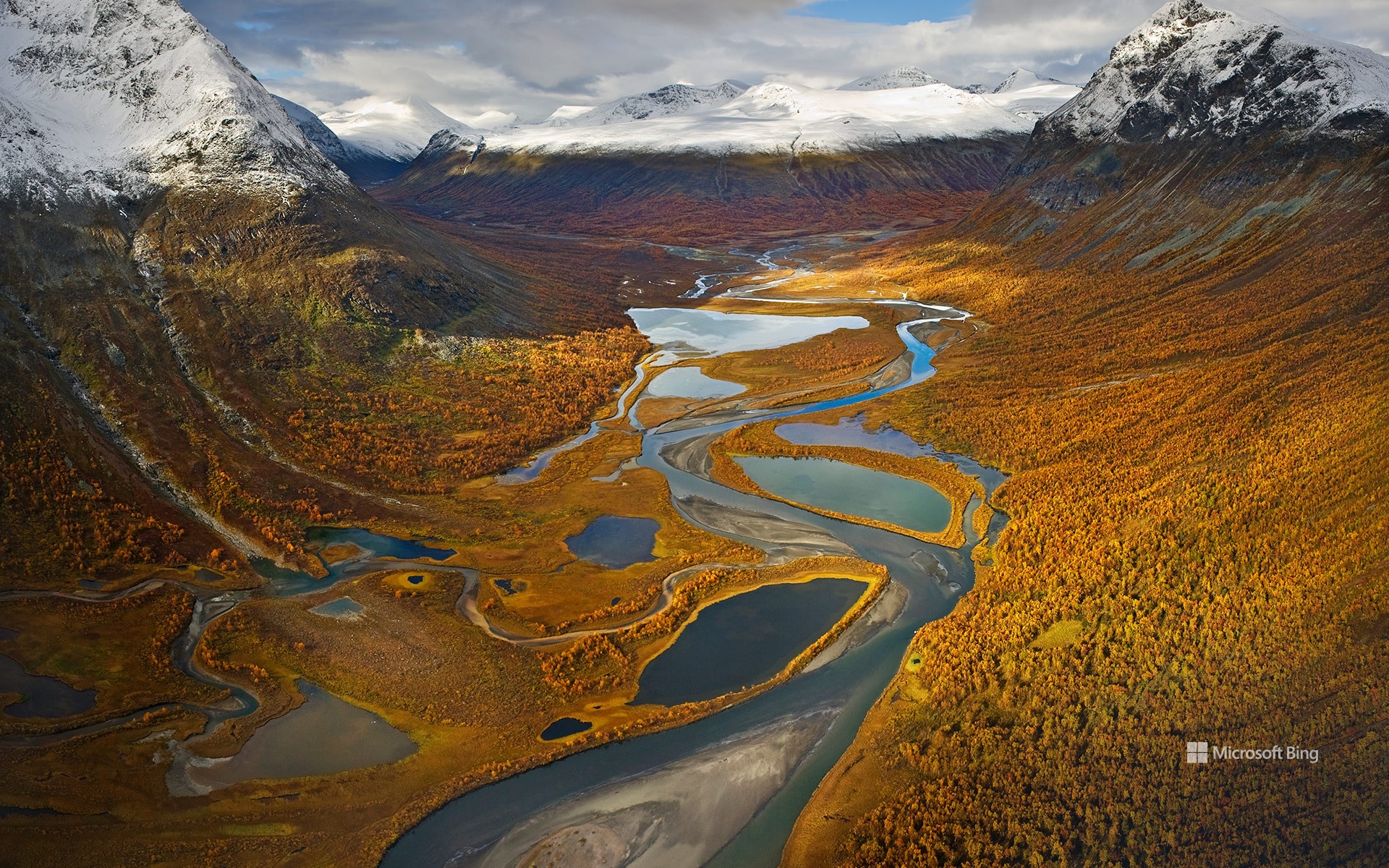
萨雷克国家公园的拉帕谷,瑞典 Rapa Valley in Sarek National Park, Sweden (© Hans Strand/Getty Images)
想象一下此处的回声 Imagine the echo!
萨雷克国家公园的拉帕谷,瑞典
拉帕谷坐落在瑞典萨雷克国家公园内,这里既有河流穿过郁郁葱葱的草地,也有高耸的山峰直插云霄。在瑞典北部的这个国家公园里,麋鹿可以自由地驰骋,金雕在空中翱翔,踪迹难寻的北极狐在雪地上留下了痕迹。瑞典拥有众多的国家公园,从阿比斯库国家公园的美景到萨勒克国家公园的陡峭山峰,每个国家公园都是一个奇迹。萨米人自古以来就以这片高山地区以及挪威、芬兰和俄罗斯的部分地区为家,他们的文化遗产与荒野交织在一起。他们以狩猎、放牧和打渔为生,不过最出名的可能还是他们放牧驯鹿的习俗。
Rapa Valley in Sarek National Park, Sweden
Rapa Valley runs through Sarek National Park in northern Sweden, where rivers cut into lush meadows and towering peaks reach towards the sky. In this national park, covering about 760 square miles of pristine wilderness, elk roam freely, golden eagles soar overhead, and the elusive arctic fox leaves traces of its presence in the snow. From the beauty of Abisko to the rugged peaks of Sarek, Sweden's many national parks boast a range of landscapes from glaciers to lush green forests and sandy beaches. The Sámi people have called this alpine region home since ancient times, and their cultural heritage is intertwined with the landscape. They fish the coasts, and perhaps most famously, herd reindeer.
富内斯山谷,背景是多洛米蒂山,南蒂罗尔,意大利 Villnöß with the Dolomites in the background, South Tyrol, Italy (© Achim Thomae/Getty Images)
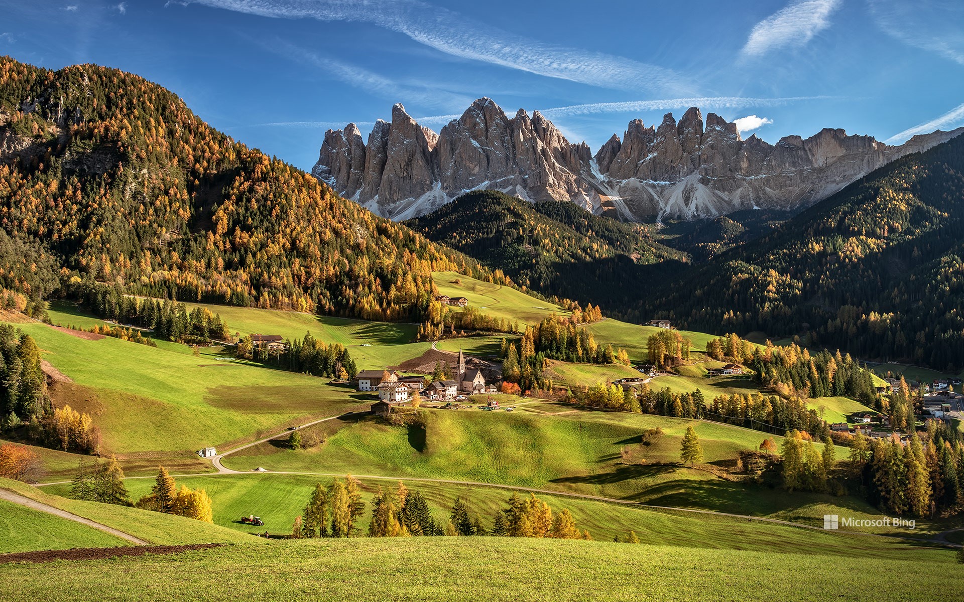
富内斯山谷,背景是多洛米蒂山,南蒂罗尔,意大利 Villnöß with the Dolomites in the background, South Tyrol, Italy (© Achim Thomae/Getty Images)
如诗如画的地方 A picturesque place
富内斯山谷,南蒂罗尔,意大利
南蒂罗尔是意大利的一个自治省,该地区以其高品质的生活而闻名。意大利语、德语和拉丁语都是这里的官方语言,每种语言都有自己的传统和文化。此外,这里既有诸如梅拉诺、博尔扎诺以及布雷萨诺内等美丽的城市,也有科尔蒂纳丹佩佐、加迪纳山谷和阿尔塔巴迪亚之类的著名滑雪胜地,还有世界闻名的酒庄。而且不少酒庄还伴有风景如画的湖泊。说起湖泊,就不得不提到卡雷扎湖,该湖泊也被称为彩虹湖或“多洛米蒂的童话湖”,是多洛米蒂最美丽的高山湖泊之一。
Villnöß, South Tyrol, Italy
South Tyrol is an autonomous province of Italy. The territory is known for its high standard of living and offers beautiful cities, such as Merano, Bolzano, Bressanone, Brunico, and Vipiteno; famous ski resorts, including Cortina, Val Gardena, Alta Badia, Val Pusteria, and Val Venosta; and world-renowned wineries, many with picturesque lakes, such as Lago di Caldaro. Lago di Carezza, known as Rainbow Lake” or “Fairytale Lake of the Dolomites,” is one of the most beautiful mountain lakes in the Dolomites. Italian, German, and Ladin (a Rhaeto-Romance language) are all official languages, each with its own traditions and culture.
克罗夫附近的摩泽尔河,德国 Moselle River loop near Kröv, Germany (© Jorg Greuel/Getty Images)

克罗夫附近的摩泽尔河,德国 Moselle River loop near Kröv, Germany (© Jorg Greuel/Getty Images)
河湾 Staying in the loop
克罗夫附近的摩泽尔河,德国
摩泽尔河是奔腾的莱茵河的一条支流,贯穿欧洲迷人的土地,流经法国、卢森堡和德国。河流雕刻出令人惊叹的山谷,两岸点缀着城镇和历史建筑。郁郁葱葱、沐浴阳光的葡萄藤爬满河流两岸的山坡,这里出产一些世界上最优质的葡萄酒,包括雷司令、白皮诺、灰皮诺。缓缓流动、波光粼粼的河水造就了宁静的氛围,吸引游客来此游船休闲或在岸边漫步。摩泽尔河是自然爱好者、葡萄酒爱好者和历史爱好者共同的圣地。
Moselle River loop near Kröv, Germany
The Moselle River, a tributary of the powerful Rhine, meanders through the landscapes of France, Luxembourg, and Germany. Along the way, it carves out valleys of breathtaking natural beauty, dotted with towns and historic landmarks. Lush, sun-drenched vineyards cling to the steep slopes overlooking the river, producing some of the finest wines in the world, including riesling, pinot blanc, and pinot gris, to name a few. The river's gentle flow and sparkling waters invite visitors to embark on leisurely cruises or peaceful walks along its shores. The Moselle creates a haven for nature lovers, wine enthusiasts, and history buffs alike.
克罗索尔山谷,斯诺多尼亚国家公园,英国威尔士 (© Matthew Williams Ellis/Plainpicture)
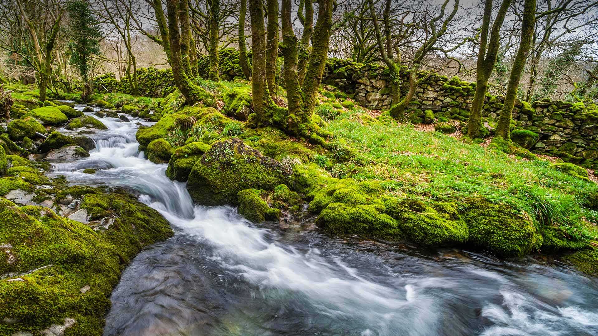
克罗索尔山谷,斯诺多尼亚国家公园,英国威尔士 (© Matthew Williams Ellis/Plainpicture)
宁静的山谷
斯诺登尼亚国家公园,威尔士
今天照片中展示的宁静山谷坐落在北威尔士格的斯诺登尼亚国家公园。克罗伊索(Croesor)峡谷曾经是热闹非凡的采石场,专门生产用于建造屋顶及地板的石板。如今这里没有了采石的喧嚣,只有长满苔藓的石墙、潺潺的溪流、羊群啃过的田野和台阶,还有穿过这里前往莫尔温尼恩(Moelwynion)山脉的徒步者。
克罗伊索峡谷位于克尼希特(Cnicht)山麓,从西南方向看,其轮廓犹如一座金字塔,因此克尼希特被誉为“威尔士的马特洪峰”。克尼希特山虽然并不高,只有689米,但站在山顶,西可远眺海岸美景,北可遥望斯诺登山,你会看到令人震撼的风景。
在这里,徒步者可能会发现自己正沿着矿工的足迹,绕过废弃的采石场,路过已经变成废墟的矿工家。克罗伊索峡谷是83英里长的斯诺登尼亚石板道的一部分,这条石板道也记录了这里曾是石板生产中心的那段历史。
多洛米蒂山谷中的科莱圣卢恰小镇,意大利 Colle Santa Lucia in the Dolomites, Italy (© mauritius images GmbH/Alamy)
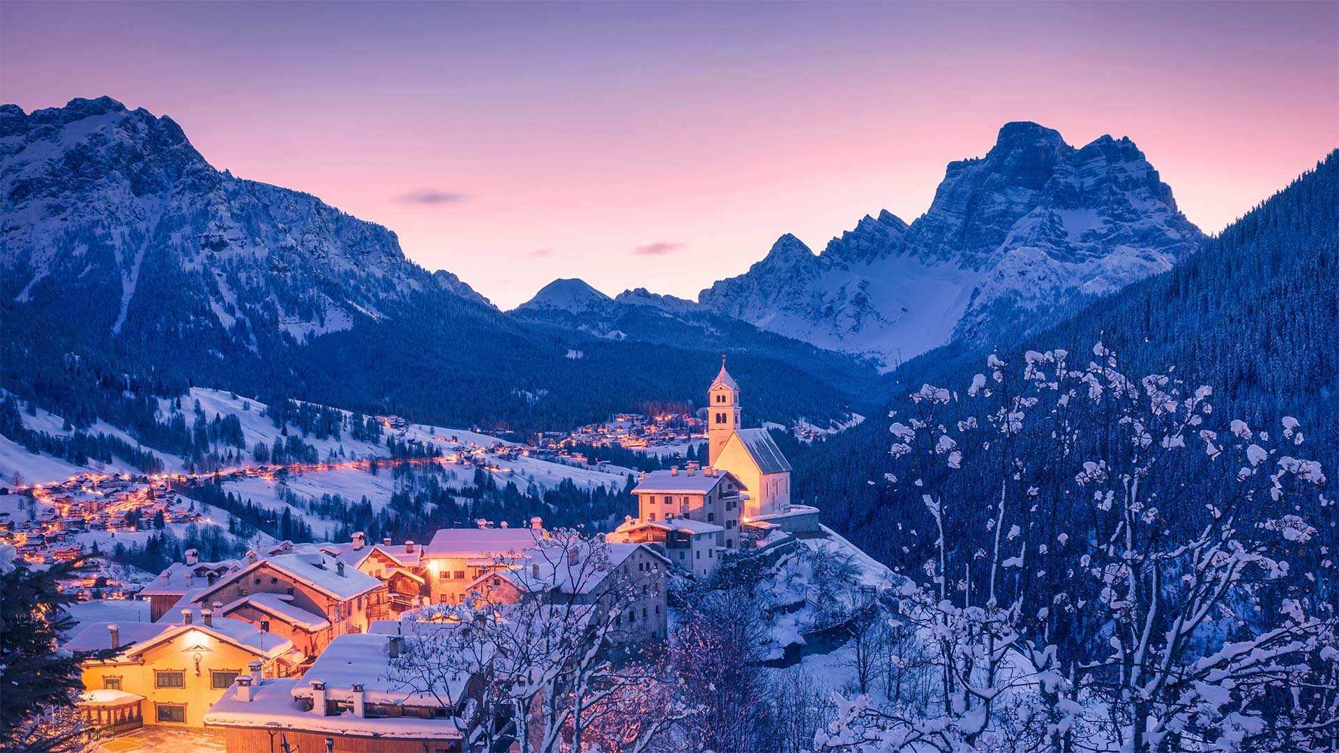
多洛米蒂山谷中的科莱圣卢恰小镇,意大利 Colle Santa Lucia in the Dolomites, Italy (© mauritius images GmbH/Alamy)
明信片和雪花球的取景地 The envy of postcards and snow globes
科莱圣卢恰小镇,多洛米蒂山,意大利
这个位于多洛米蒂山山坡上的小村庄风景如画,如果你把它误认为电影中的场景也不足为怪。科莱圣卢恰是一个意大利小镇,有着约400名居民。尽管科莱圣卢恰位于意大利北部,但这个小镇的风格更偏向奥地利。小镇距离奥地利边境的蒂罗尔州只有几步之遥。和它的奥地利邻居一样,科莱圣卢恰以壮美的山峰和滑雪场而闻名。相较于晴朗的威尼斯,科莱圣卢恰的气候更接近寒冷的因斯布鲁克,尽管威尼斯距离小镇南边仅60英里。
Colle Santa Lucia, Dolomites, Italy
This tiny hamlet on the slopes of the Dolomite Mountains is so picturesque, we'd understand if you mistook it for a movie set. But Colle Santa Lucia is a real village in Italy with about 400 residents. Despite its location in Italy's northern reaches, the village is more culturally Austrian than Italian, and is only a stone's throw from the Austrian border state of Tyrol. And like its Austrian neighbors, Colle Santa Lucia is known for its peaks and ski resorts. It has more in common with wintry Innsbruck than sunny Venice, which is less than 100 miles away to the south.
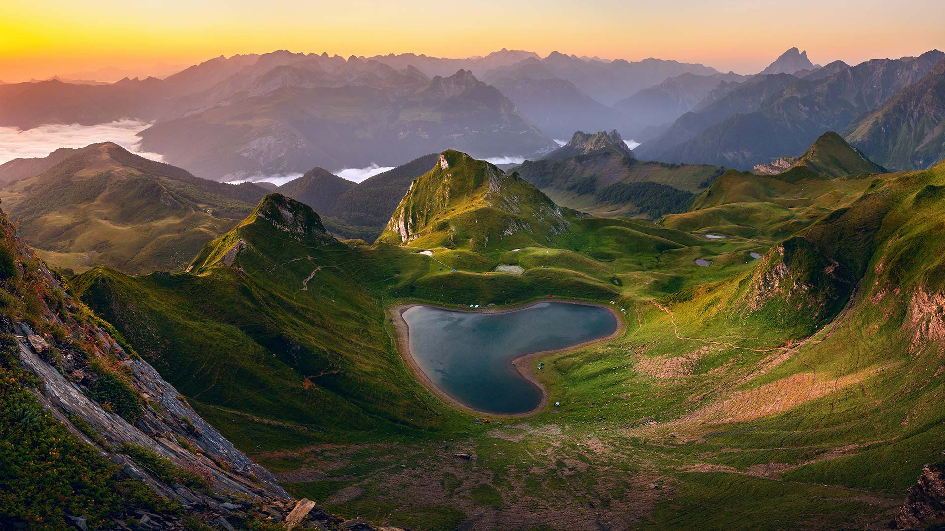
阿斯佩山谷中的蒙塔尼翁湖,法国 (© thieury/Adobe photo stock)
瓦迪拉姆, 约旦 Wadi Rum, Jordan (© Thomas Coex/AFP via Getty Images)
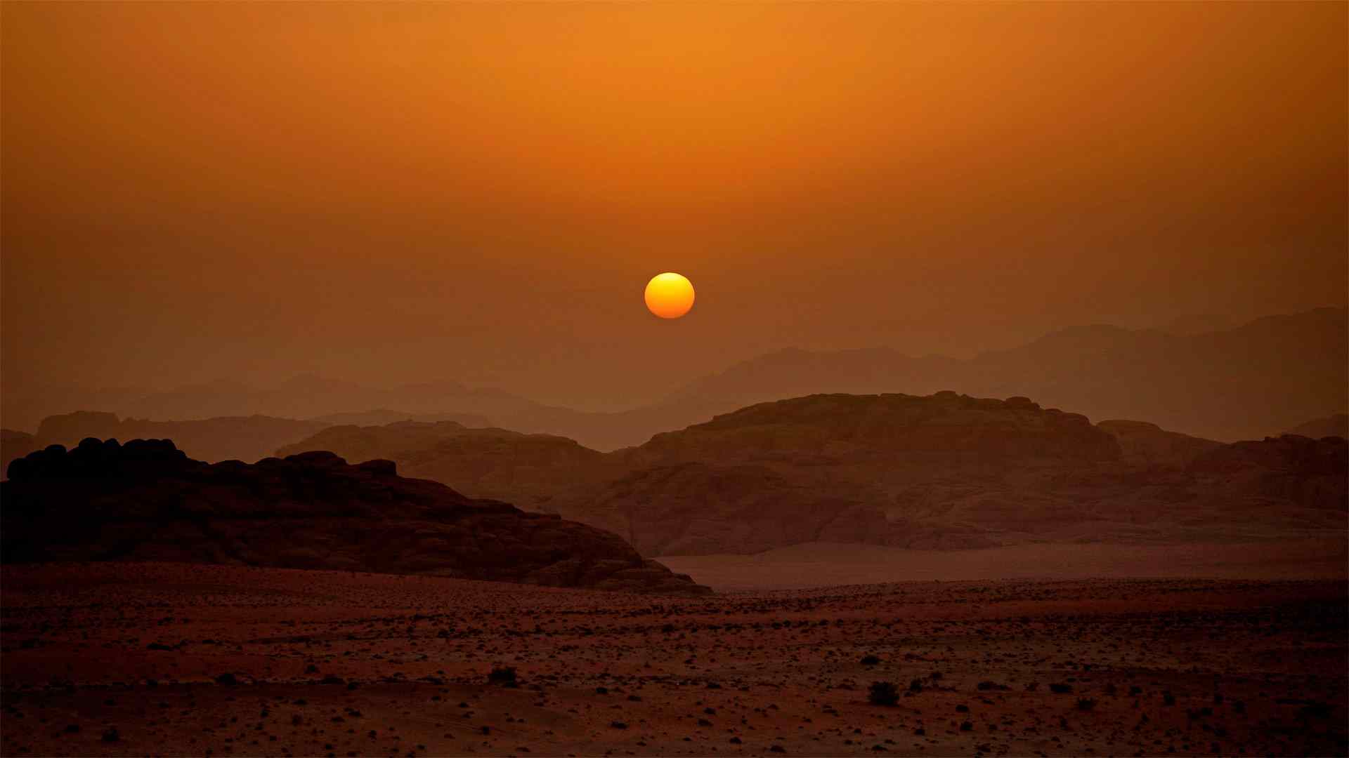
瓦迪拉姆, 约旦 Wadi Rum, Jordan (© Thomas Coex/AFP via Getty Images)
太阳落在月亮谷上 The sun sets on the Valley of the Moon
Star Wars Day
This otherworldly desert landscape in Jordan might look familiar to fans of the 'Star Wars' films, especially today on Star Wars Day, an annual celebration every May 4 of all things 'Star Wars.' Wadi Rum, aka Valley of the Moon, in southern Jordan, stood in for the moon Jedha in 'Rogue One,' and for the planet Pasaana in 'Star Wars: The Rise of Skywalker.' It is easy to see why this desolate landscape was chosen to mimic an alien world.
Wadi Rum ('wadi' means 'valley' in Arabic) is the largest valley in Jordan, cut through sandstone and granite formations. A UNESCO World Heritage protected area, Wadi Rum is singled out for its ancient rock carvings and archeological remains. Various human cultures have lived in this valley since prehistoric times.
Today, the valley is one of the most popular destinations in Jordan for tourists, particularly rock climbers and hikers. Summer temperatures routinely reach the 90s, but this being the desert, temperatures cool considerably at night. The Zalabieh tribe of Bedouins call the valley home. They act as guides for tourists and coordinate activities like camel rides, horseback rides, and camping. A major coastal city, Aqaba, is less than 40 miles away, so if you'd like to visit Wadi Rum, put away your hyperdrive—you don't have to leave the galaxy.
星球大战日
对于《星球大战》电影的粉丝来说,约旦这片超凡脱俗的沙漠景观可能看起来很熟悉,尤其是今天的《星球大战日》,每年5月4日都是《星球大战》的年度庆典约旦南部的Wadi Rum又名月球谷,在《侠盗一号》中代表月球杰达,在《星球大战:天行者的崛起》中代表行星帕萨纳很容易理解为什么选择这片荒凉的土地来模拟外星世界。
Wadi Rum(“Wadi”在阿拉伯语中的意思是“山谷”)是约旦最大的山谷,穿过砂岩和花岗岩地层。Wadi Rum是联合国教科文组织世界遗产保护区,因其古老的石刻和考古遗迹而被选中。从史前时代起,各种人类文化就生活在这个山谷里。
今天,河谷是约旦最受游客欢迎的目的地之一,尤其是攀岩者和徒步旅行者。夏季气温通常会达到90年代,但这里是沙漠,夜间气温会相当低。贝多因人的萨拉比耶部落称山谷为家。他们充当游客的向导,协调骑骆驼、骑马和露营等活动。一个主要的沿海城市亚喀巴离这里不到40英里,所以如果你想去Wadi Rum,把你的超光速引擎收起来,你不必离开银河系。